Draining the Everglades: How a River of Grass Was Reshaped
For most of Florida's history, the Everglades was seen as a problem to be solved. From the 1880s onward, investors, governors and engineers tried to drain the "swamp" and turn it into farms and towns. Over roughly a century, canals, dikes and pumps cut the Everglades to about half its original size and broke the natural flow of water that held it together. In 2000, Congress approved the Comprehensive Everglades Restoration Plan to begin undoing some of that damage.
The first drainage dreams
To nineteenth-century eyes, South Florida's sawgrass marshes looked like wasted land. The state owned millions of acres of it and wanted settlers and development. In 1881 a Philadelphia industrialist named Hamilton Disston agreed to buy about four million acres of Florida land for a million dollars, roughly 25 cents an acre, and to drain land in exchange for more.
Disston's companies dug canals and dredged channels around Lake Okeechobee and the Kissimmee River for more than a decade. They lowered water levels in some areas and helped draw attention and railroads south, but the larger dream of draining the Everglades did not come true, and his ventures faltered in the 1890s.
Broward and the push to drain the Everglades
The idea came back stronger in the early 1900s. Napoleon Bonaparte Broward campaigned for governor in 1904 on a promise to drain the Everglades and create what supporters pictured as an empire of rich farmland. After he took office in 1905, the state began building dredges and digging canals from the coast toward Lake Okeechobee.
Over the next two decades, canals such as the Miami, North New River, Hillsboro and West Palm Beach canals were cut through the region. Land companies sold lots to buyers around the country, sometimes sight unseen, and some of those buyers arrived to find their land underwater. Drained areas south of Lake Okeechobee did become productive farmland, but the canals also lowered water tables across a wide area. Drained peat soils dried, shrank and burned, and saltwater began creeping into coastal wells.
The hurricanes of 1926 and 1928 and the Herbert Hoover Dike
Two hurricanes made the dangers of the altered landscape painfully clear. The 1926 Miami hurricane struck the booming city and killed more than a hundred people. Around Lake Okeechobee, storm-driven water pushed over the low muck dike along the southern shore.
Then in September 1928, the Okeechobee hurricane drove the lake over its banks and flooded farming communities around its southern edge. Estimates of the death toll range from about 1,800 to more than 3,000 people, making it one of the deadliest disasters in U.S. history. Many of the victims were Black farmworkers, and many were never identified.
In response, Congress authorized a much larger levee around the lake. Built by the U.S. Army Corps of Engineers in the 1930s and later expanded, the dike now runs roughly 143 miles around Lake Okeechobee and is known as the Herbert Hoover Dike, after the president who toured the damage and backed the project. It protects lakeside communities, but it also sealed the lake off from the marshes that once received its overflow.
The Central and Southern Florida Project
Severe drought in the 1940s, followed by major flooding in 1947, led Congress to approve the Central and Southern Florida Project for Flood Control and Other Purposes in 1948. The Army Corps built an enormous system that, over the following decades, grew to more than a thousand miles of canals plus levees, pumping stations and water control structures.
The project divided the Everglades into zones. South of Lake Okeechobee, the Everglades Agricultural Area was set aside for farming, much of it sugarcane. Large water conservation areas were diked off to store water. Along the east, a protective levee held back the marsh so suburbs could spread west. Everglades National Park, dedicated in 1947, sat at the bottom of the system, receiving whatever water was released to it.
The consequences
The project did what it was designed to do. It reduced flooding, supplied water to farms and cities and made modern South Florida possible. But the natural system paid the price.
- Lost wetlands. Roughly half of the original Everglades has been drained or developed.
- Disrupted water flow. Water that once moved slowly south in a broad sheet now moves through canals on a schedule set by flood control and water supply.
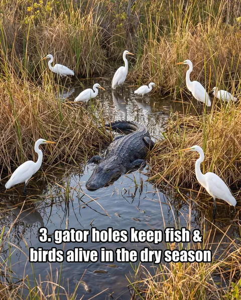
- Wildlife declines. Wading bird populations dropped dramatically from their historic levels, and species tied to natural water cycles, like the wood stork, struggled.
- Water quality. Nutrient-rich runoff from farms changed native plant communities in parts of the marsh.
- Lake and estuary problems. Large releases of lake water to the east and west coasts have harmed estuaries, while Florida Bay often gets too little fresh water.
CERP and the long road to restoration
By the 1990s, scientists, tribes, agencies and conservation groups agreed the system had to change. In 2000, Congress approved the Comprehensive Everglades Restoration Plan, known as CERP, as part of that year's Water Resources Development Act. It is a federal-state partnership led by the Army Corps of Engineers and the South Florida Water Management District, with costs shared roughly evenly.
CERP's goal is to get the water right: the right quantity, quality, timing and distribution. The plan was originally framed as about 68 projects taking more than 30 years at an estimated $7.8 billion, and its costs and timelines have grown since. Projects include reservoirs, treatment marshes, removing barriers and bridging roads such as the Tamiami Trail.
Restoration will never return the Everglades to exactly what it was in 1880. But it is moving water south again, and every gallon matters to the sawgrass, the birds and the people who depend on this system. There is only one Everglades, and this history shows how close it came to being lost.
Quick answers
Why did people try to drain the Everglades?
Nineteenth- and early twentieth-century leaders saw the wetlands as wasted land and hoped to turn them into farms and towns. Drainage was also seen as a way to control floods.
How much of the original Everglades is left?
Roughly half of the original Everglades remains. The rest has been drained for farming or developed for cities and suburbs.
What is CERP?
The Comprehensive Everglades Restoration Plan, approved by Congress in 2000, is a federal-state program to restore the quantity, quality, timing and distribution of water across the Everglades.
Sources
- Drainage and Reclaiming Land - University of Florida Libraries
- Herbert Hoover Dike - Wikipedia
- Draining and development of the Everglades - Wikipedia
- Comprehensive Everglades Restoration Plan - Everglades Restoration
- South Florida Ecosystem Restoration and the Comprehensive Everglades Restoration Plan (CRS RS20702)